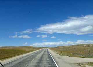
We drove to Lander. The winds were really high. It tried to unroll one of our awnings. Took out some of the stitching on the seams. 70's and sunny.
The map says this is a scenic drive. We crossed the continental divide twice. The divide goes all the way around the Great Divide basin, the water that falls in the basin just gets absorbed into the ground. It does not go either to the Mississippi or the Colorado. The route was also auto tour route and the Chief Washakie Trail and the Historic mines trail. The road closes when there is a blizzard. I drove in a few across Wyoming and is not worth it, can't even see the road. This 4 foot statue of a prairie dog is by the post office.
Beautiful, historic downtown Lander. I wondered why there is a bicycle on top of the Purina Chow tower, then saw the Bike Mill shop on ground level.
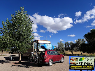
We are parked at the Twin Pines RV park. Nice park for a commercial. The view to the south from our spot.
Sun setting in our front view.
The sun setting over the little lake next to the RV park.
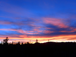
We moved to some dispersed forest service camping on South Pass. Free camping, no hookups. Our bus is self contained so we don't need hookups. Beautiful sunset. Very dark and quiet here.
The next day we went to Atlantic City, mostly a ghost town. The sign as you enter town says there are about 57 people and elevation 7675. We had lunch at the only restaurant, general store, bar and package liquor Miners Grubstake. It is also for sale. It is about as western as you can get. Knotty pine, guns, mounted heads. Nice lunch too.
I was puzzled about these lines of big rocks by the highway until I noticed there was a rock quarry across the street. Must be storage. Welcome to Atlantic City, wino crossing, and a real Atlantic City Miner. The ghost towns we visited today were gold rush boom towns. There were many mines as well as the towns. This one was the biggest in the area, the Carissa. You can take tours of it on weekends. But not when we were there. It looks like it is fully restored.
Stark tree, antelope we saw on the way and the velvet painting at Miner's Grubstake. The rabbit bush are blooming a brilliant yellow.
South Pass City is a state historic site. Many of the buildings are still standing and fully restored with exhibits inside showing how the people lived back then. People have been living there 150 years, but not very many anymore. The entrance sign says about 4 people, roughly three cats, approximately 4 dogs. They don't live in the state historic center, but around it. Yellow gum weed flowers and we are still on the Wyoming historic mine trail. Beautiful historic downtown South Pass City.
Beautiful historic downtown South Pass City.
The outhouse for the hotel and one of the rooms and kitchen from the hotel in South Pass City.
John behind the wavy old glass. Lupine, South Pass City is on the Oregon trail. and the bars in the old jail. The cells had really thick walls, these stout bars, no heating or air conditioning. Grim place.
Lupine and rabbit bush, a map showing the route of the Continental Divide Trail as it passes through Wyoming and South Pass City. A highway sign that says Wyoming Woman's Suffrage Pathway. Home of the women's vote. Wyoming was the first state to legalize women voting. Pine cones near camp. The bus


