

This area is up to 9,000 feet and up in the mountains. Posey Lake and aspen just
leafing out over a field of new grass and dandelions.


Deep Creek. Death Hollow is a 22 mile long canyon. The warnings are at the
Death Hollow trailhead. It says among other things that there is no trail,
extremely rough routes including sections where swimming is required, may be no
water for the first 11 miles, flash floods can occur and poison ivy is common. I
love this at the bottom- Choose wisely: Hiking here is NOT a walk in the park.
We were not going to hike Death Hollow even before we saw this sign. We also saw
deer and strawberry blooms.


Looking east at the sand creek drainage. Hell’s Backbone Bridge joins two points on a knife edge ridge with thousands of
feet drops on either side. It was originally built of wood by the CCC in 1933. It
was replaced with a steel and concrete reinforced bridge in the 1960’s when it’s
decaying wood would groan and squeak ominously when vehicles crossed it. That bridge was replaced in 2005 by the present bridge that is wider and
stronger. Still only one lane wide.


Looking west into Death Hollow. Back on the highway we stopped in Boulder ,Utah.
It was isolated until the CCC built that bridge so they could get easily into
Escalante. But the road would close in the winter because of snow. Even the
present highway 12, also built by the CCC would close in the winter until it was
paved in 1985.


Highway 12 also has a section along another knife edge ridge over looking Calf
Creek where we hiked yesterday.


This basket has been one problem after another, but it is starting to come
together ok. Sunset tonight.


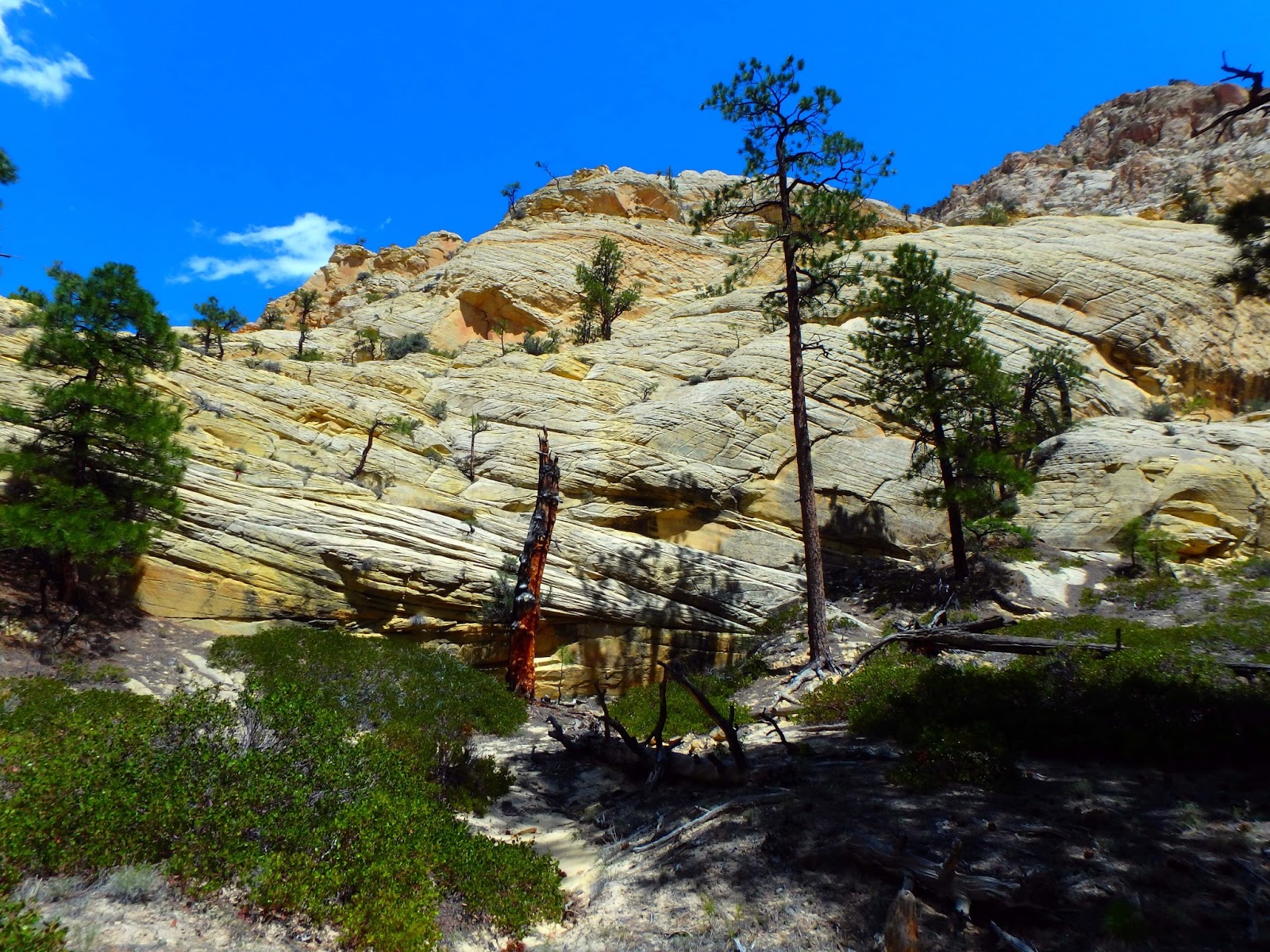
Today we hiked the Box in the Box-Death Hollow Wilderness. The Box is an 8 mile
canyon that drops from a red rock canyon filled with aspens to a red rock canyon
full of ponderosa, following Pine creek the whole way. Golden Banner and
‘When’s Recess?’That was on a sign at the beginning of the trail. You can pay a
shuttle $42 each to drop you off and shuttle the car, or we parked at the bottom
and walked 4 miles up and back-8 miles total.


John walking through lupines, ponderosa with spring green.


Geranium, white flowers, yellow flower growing through a feather and asters. The
rocks in the cliffs are the same pink,orange,yellow of Bryce canyon.


Pine drops, red bud and wild clematis. Pink cliffs and spring green.


Pine Creek. Penstamens, yellow and orange rock and a swallow tail butterfly.


The whole trail there are 50 creek crossings. We only crossed it 14 times, each
way in our 4 mile stretch. It never got much over knee deep. John liked to soak
his knees in it. I didn’t want to wear my new boots and get them wet, or take
them off and on 28 times so I wore my keens shoes that Martha gave me that are
designed for river wear. They worked great.

Yellow cliffs. Bumpy dead tree, yellow flowers, scarlet pentastamen. I lost my wedding
ring (turquoise, opal and silver) in the car a few weeks ago and can’t find it. Today John got me two new rings, both vintage, hand made silver and turquoise. I
couldn’t decide between them, so he got me both. What a sweetheart.


No comments:
Post a Comment
Note: Only a member of this blog may post a comment.